overview about the village
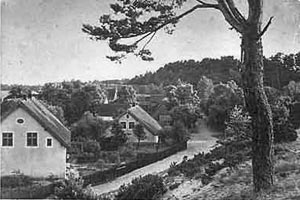
Nidden - village's main street
Map of Nidden (detail)
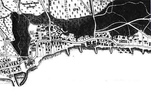
Sectors of town are:
- the part around the mole in the south (at the left side of the map),
- the main village in the middle (Hauptdorf),
- at the shore of the lagoon in in a northward direction the so called das "antvillage" - Skrusdin (to the right in the map),
- and further north the incorporated village Purwin (not on the map anymore).